
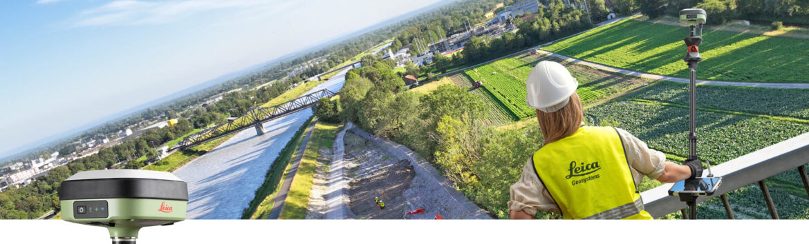
Leica Geosystems, part of Hexagon, today introduced the Leica GS05, a compact, lightweight GNSS Smart Antenna featuring calibration-free tilt compensation designed for surveyors who tackle challenging jobs and work long hours.
Weighing just 0.75 kilogrammes including the battery, the GS05 significantly reduces operator fatigue during extended surveys. Its robust design ensures durability and reliability in the field across a range of applications, from surveying and mapping to construction and utility staking out. The tilt compensation up to 30 degrees means surveyors can measure points accurately even when the survey pole is not perfectly vertical — enabling faster and more convenient data collection, particularly in challenging environments or hard-to-reach locations.
“Given the high and increasing demand for geospatial services, surveyors must work smarter not harder. This compact yet powerful device makes surveying more efficient and less physically demanding,” said Bernhard Richter, Vice President Product Management Geomatics Division at Leica Geosystems. “Incorporating several Leica Geosystems’ innovations in one, it guarantees precision and versatility while enhancing practicality and user comfort.”
The Leica GS05 seamlessly integrates with the broader Leica Geosystems portfolio, including Leica Captivate field software. It also operates alongside Leica total stations as an efficient SmartPole. This integration with user’s existing Leica Geosystems’ equipment and workflows, maximises efficiency and avoids additional investment.
Despite its compact size, the GS05 offers a comprehensive set of features, including integrated ultra-high-frequency (UHF) radio or 4G modem, WLAN and Bluetooth, internal memory 10 Hertz (Hz) positioning, and NMEA output. It can be used as a base or RTK rover. As a rover, it functions with single base stations or in RTK Networks such as Leica Geosystems SmartNet.
Leica Geosystems – when it has to be right
With more than 200 years of history, Leica Geosystems, part of Hexagon, is the trusted supplier of premium sensors, software and services. Delivering value every day to professionals in surveying, construction, infrastructure, mining, mapping and other geospatial content-dependent industries, Leica Geosystems leads the industry with innovative solutions to empower our autonomous future.